On Ramps and Road Maps 90s Trivia


Quiz Complete!
On Ramps and Road Maps: How the 1990s Changed Everyday Travel
The 1990s were a hinge point in how people moved. It was still the era of paper road atlases, handwritten directions, and pulling off at a gas station to ask for help, yet it was also the decade when navigation started to become digital and when huge transportation projects reshaped maps in ways drivers could feel. If you picture a suburban driveway in the 90s, you can almost see the minivan parked beside a growing number of SUVs, ready for school runs, road trips, and weekend errands that depended on an expanding web of highways and crossings.
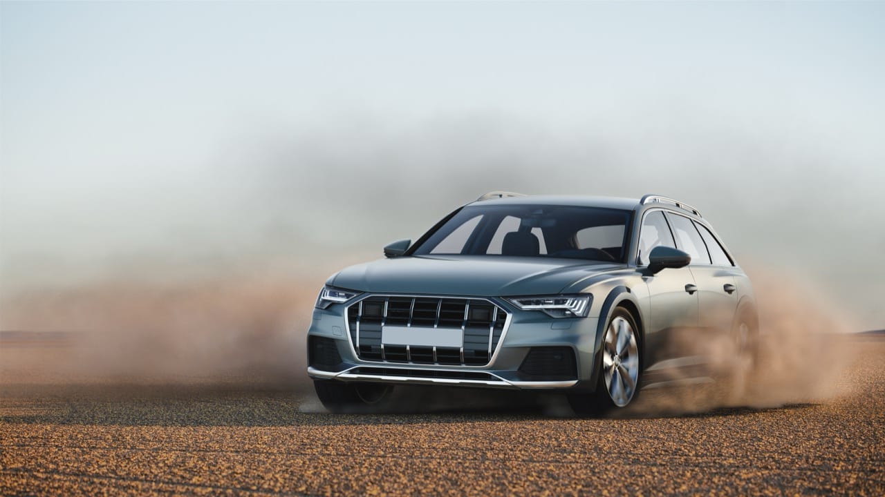
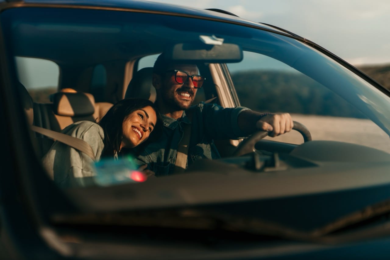
Minivans became the symbol of practical mobility. Models like the Chrysler Town and Country, Dodge Caravan, Honda Odyssey, and Toyota Previa turned family travel into something closer to a living room on wheels, with sliding doors, flexible seating, and enough cargo space for sports gear and vacation luggage. At the same time, SUVs moved from niche to mainstream. Vehicles such as the Ford Explorer and Jeep Grand Cherokee helped redefine what people expected from a daily driver, combining a higher seating position with the promise of go anywhere capability, even if most miles were spent in traffic. This shift wasn’t just about style; it reflected changing suburbs, longer commutes, and a growing preference for vehicles that felt secure and versatile.
Those commutes were increasingly shaped by megaprojects. One of the most famous was the Channel Tunnel, which opened in 1994 and linked the United Kingdom and France beneath the English Channel. It wasn’t a road tunnel for private cars to drive through directly; instead, vehicles traveled on shuttle trains, while passengers could also take high speed rail services. The engineering achievement became a symbol of a more connected Europe and a new kind of cross border routine, changing how people thought about distance between London, Paris, and beyond.
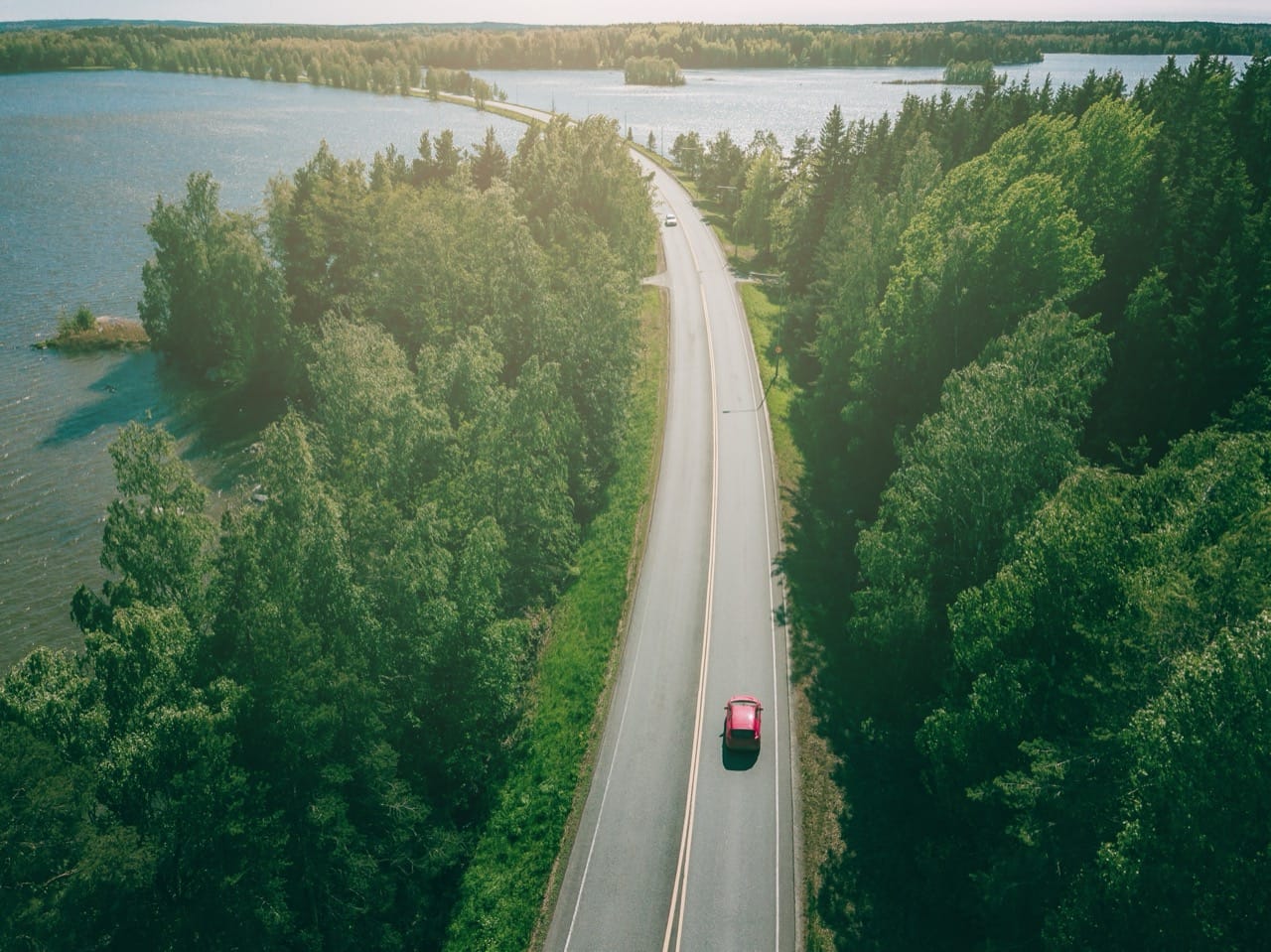
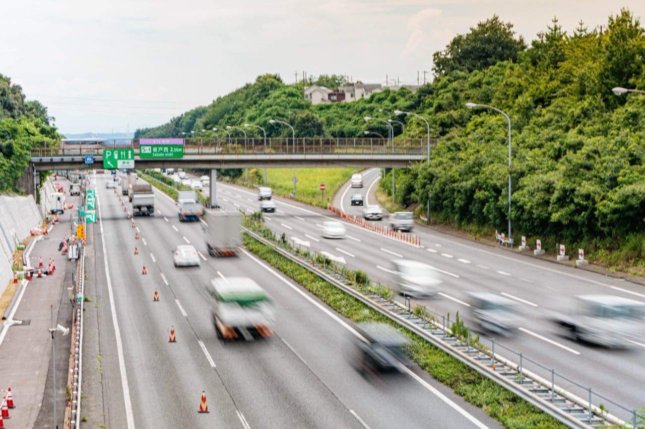
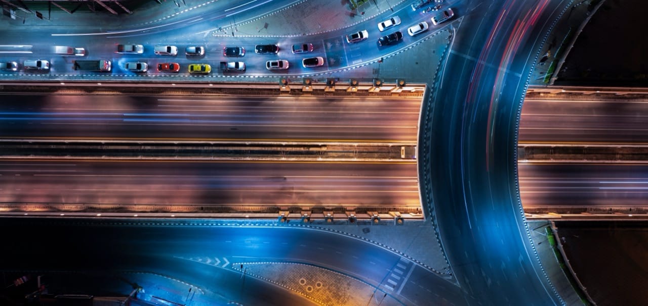
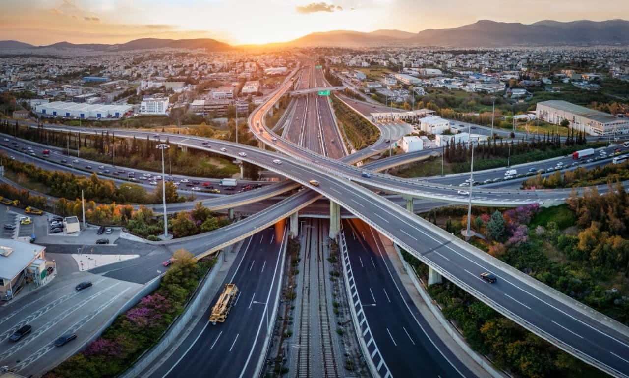
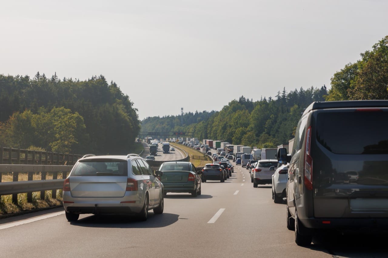
In the United States, the 90s were marked by the steady growth of metropolitan regions and the pressure it put on interstates. Bottlenecks became household knowledge: drivers learned which interchanges to avoid, what time the morning backup began, and where a single crash could ripple into hours of delay. Some corridors gained near legendary status for congestion, and the vocabulary of commuting expanded to include beltways, spurs, and express lanes. Even when new lanes opened, demand often rose to meet them, and the daily choreography of merging, ramp metering, and stop and go traffic became part of modern life.
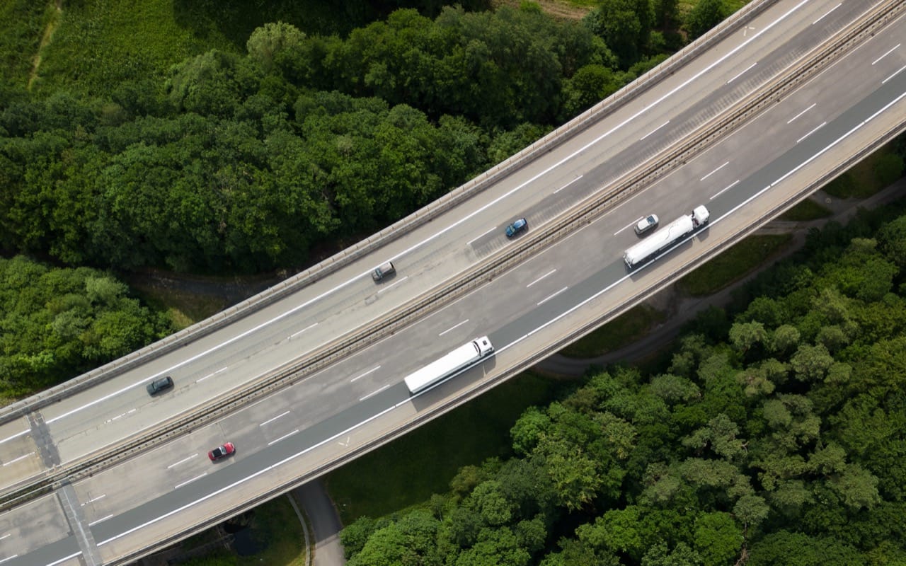
Border crossings and trade routes also took on new importance. With increasing globalization and agreements that boosted cross border commerce, freight traffic grew and certain bridges, tunnels, and checkpoints became critical links in supply chains. For travelers, these crossings were where geography met policy: the place where a family vacation, a trucking schedule, or a business trip could be delayed by inspection lines and paperwork.
Navigation was the quiet revolution. Early in car systems existed, but they were expensive and limited, sometimes relying on CD ROM map discs or less intuitive interfaces. Many drivers still depended on fold out maps, spiral bound atlases, and printed directions from travel guides. Yet the idea that a car could guide you turn by turn started to feel plausible in the 90s, especially as rental cars began to offer more tech options and as drivers grew used to electronic displays in dashboards. The decade trained people to think in routes and waypoints, setting the stage for GPS to become a normal expectation.
All of this makes 90s road trivia surprisingly rich. A question might hinge on the name of an iconic vehicle, the year a major tunnel opened, the geography of a famous interstate, or the reputation of a notorious choke point. The fun comes from recognizing how the era blended the familiar and the monumental: a minivan in the driveway, a paper atlas in the glove box, and a world of new connections unfolding one on ramp at a time.